Façade inspection using drones
Façade inspection using drones,
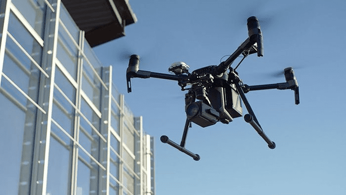
Drones are widely used in various construction sectors.
It is estimated that around one million drones are in use today in the construction industry.
This is because it is safer than other traditional methods such as swing stages, boom lifts,
or rope access, or other similar means where workers have to have close access to the façade.
Despite the many advantages that drones offer,
they have not gained widespread acceptance in interface inspection due to some restrictive local laws.
This article discusses the newly implemented Façade Inspection Act,
Municipal Code Number 102 of 2020 (Local Code 102) of New York City,
along with its features and considerations.
Facade Testing Safety Program (FSP), New York City
New York City is rich in historic buildings that require frequent inspections and maintenance.
In late 2019, Erica Tishman, an architect in New York City,
was killed by a falling piece of facade from a 105-year-old high-rise in Manhattan.
Based on this incident and related developments,
the New York City Council passed Municipal Law No. 102 of 2020 (Local Code 102).
The law requires the New York City Department of Buildings (DOB) to consider using drones to perform façade inspections in addition to operational inspections.
New York City’s Municipal Code 102 mandates the FSP to require periodic facade inspections for all buildings with more than six stories.
In the digital age, where innovation is the driving force behind progress, drone technology emerges as a revolutionary tool in the realm of architecture. This article delves into the multifaceted applications of autonomous drones, particularly focusing on their transformative role in creating detailed 3D architectural models with real-time precision.
The advent of technologies such as Skydio 3D Scan exemplifies the cutting-edge advancements that appeal to the technophile generation. These drones are not just flying cameras; they are autonomous agents capable of capturing the intricacies of structures, landscapes, and urban topographies with unprecedented detail and accuracy. The result is a paradigm shift in how architectural surveys are conducted, making the process more efficient, safer, and infinitely more dynamic.
But the prowess of drones extends beyond peaceful civil applications. Their efficacy has been proven on the battleground, where they’ve been utilized for reconnaissance and strategic operations. The same principles of precision and autonomy that make drones indispensable in warfare have been adapted to serve architectural progress. This duality of function—while controversial—showcases the robustness of drone technology and its vast potential.
As we explore the intersection of drone technology and architecture, we confront a new reality—one where the boundaries of design and construction are expanded by the capabilities of autonomous flight. This is a world where the fabric of our built environment is woven with the threads of advanced technology, promising a future that is not only designed by humans but also, in part, by the machines we’ve created.
Interface inspection using drones
- Drones or unmanned aerial vehicles (UAVs) are useful tools for collecting large amounts of visual data such as videos, thermal images, and similar outputs.
- The data collected by the drones is examined to identify defects, damages, etc.
However, data examination is a challenging process that requires qualified professionals to identify and mitigate risks as soon as possible.
- In New York City, licensed design professionals, referred to as Qualified Exterior Wall Inspectors (QEWIs), perform façade inspections.
- Drones can provide enhanced visual inspection for QEWIs, which helps them easily inspect inaccessible locations such as window sills, cantilevered fittings, balconies, mechanical equipment, etc.
The time-saving features and capacity to detect flaws make drones the most functional instrument available.
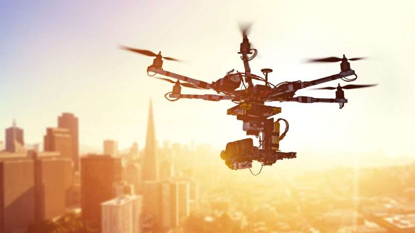
Key Considerations in Interface Screening Using UAVs
Some of the factors to consider while performing facade inspection with drones are:
- GPS availability
- number of interfaces
- Drone take-off sites
1. GPS availability
Drones work smoothly with proper GPS signal.
When planning to inspect a building in a crowded area, the first requirement is to have a good GPS signal during its trip.
Buildings can block the GPS signal, causing communication to drop.
A good GPS signal strength provides:
- Unmanned stable flight
- Collect data with a higher level of accuracy
n situations where the GPS signal fails, it is recommended to retain non-GPS control methods.
2. The number of interfaces
The efficiency of the drone’s interface inspection also depends on the number of interfaces planned for inspection and the flight path the drone plans to take.
- To inspect one front of a building – fly up and down the building to cover its long side first.
- To inspect multiple facades of a building – scroll from left to right first and then from top to bottom.
When the altitude and the number of flights are more, it is difficult to maintain line of sight.
In such cases, the flight plan needs to be divided into multiple flights, one for each interface.
3. Drone take-off locations
When conducting a drone flight risk assessment,
it is essential to identify take-off locations.
Try to visit the site to find a suitable boot site.
A good option for starting a facade inspection is drones taking off from the roof.
When the drone takes off from a higher altitude,
the barometric sensor used to estimate altitude reports negative altitudes.
In many countries, drones are complemented by other methods and technologies to perform interface inspection.
For more architectural news


