The Day Paris Closed

The final stage of the 2026 Tour de France transformed Paris from a vehicle-dominated space into a pedestrian-oriented commons. The closure of major boulevards revealed the latent spatial potential of Haussmann’s urban design, emphasizing public sociability and architectural form over routine traffic infrastructure and movement efficiency.
This event demonstrated the city’s operational resilience by reassigning major infrastructure functions without systemic failure. While the closure disrupted navigation, it enabled a deeper spatial encounter with the urban environment. Such temporary shifts highlight how existing urban forms can accommodate exceptional events through inherent architectural and logistical capacity.
Ibrahim Fawakherji — ArchUp
I left the hotel that morning with a simple objective and no particular awareness that anything had changed in the city around me.
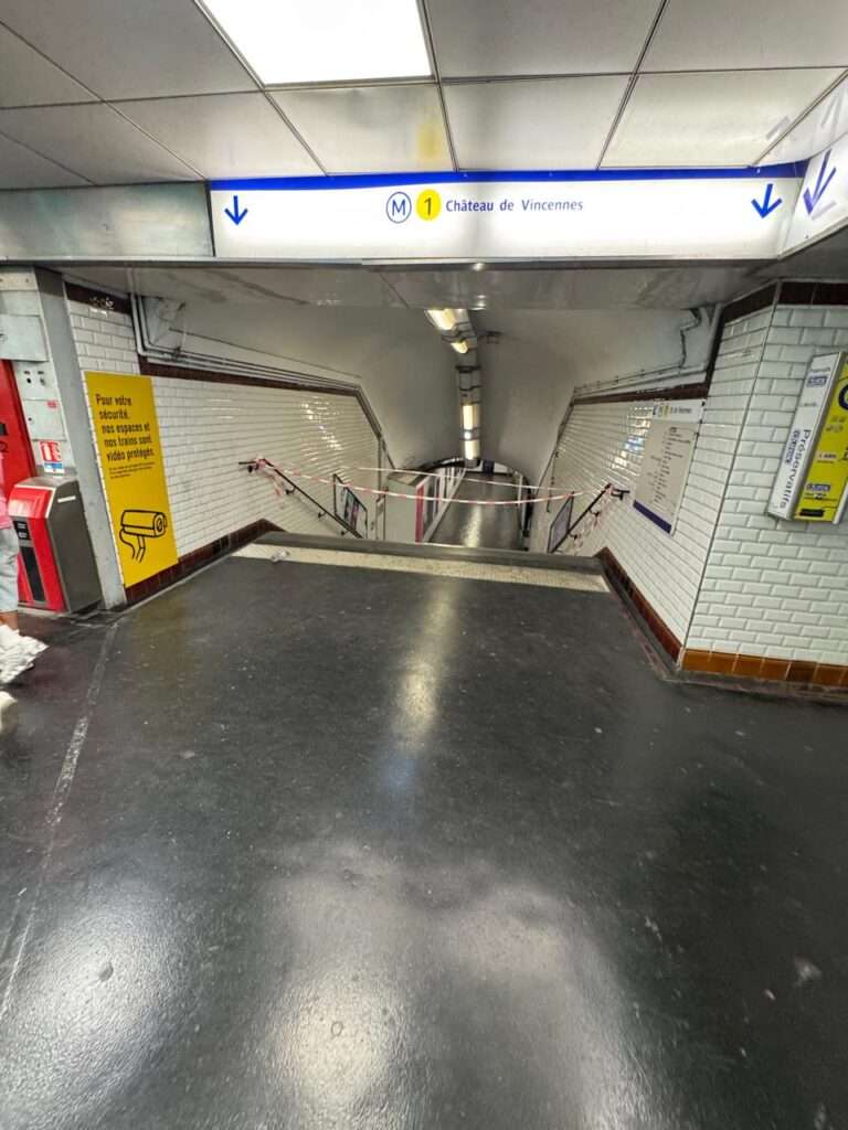
The first sign was Google Maps. Every route I attempted returned the same result: blocked. I tried different destinations, different directions. The map showed barriers where roads should have been, rerouting suggestions that led to other barriers. The taxi apps showed no available vehicles. The usual infrastructure of urban movement had simply ceased to function, at least for the part of the city I was trying to navigate.


The immediate reaction was the predictable one. A city that stops working produces a specific irritation in the person who needed it to work. But that irritation lasted approximately three minutes, which is about how long it takes to walk out of a hotel, look at the street, and understand that the city has not stopped. It has reorganized.
The barriers were everywhere, but they were not the barriers of emergency or crisis. They were the barriers of an event that the city had been preparing for, that its residents had been anticipating, and that the calendar had been building toward for weeks. July 27, 2026. The final stage of the Tour de France. Tadej Pogačar securing his fifth general classification title, a number that places him in a group of perhaps half a dozen riders across the entire history of the race. Mathieu van der Poel taking the stage on the Champs-Élysées with a decisive attack that the crowd had come specifically to witness.
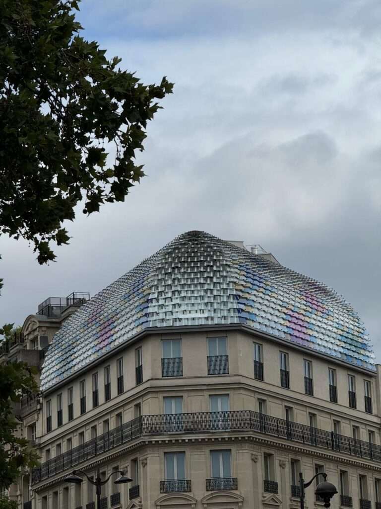
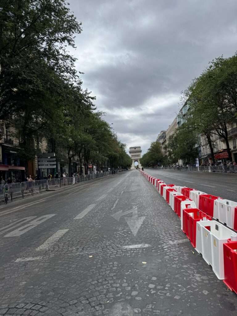
I knew none of this when I walked out. I learned it by walking.
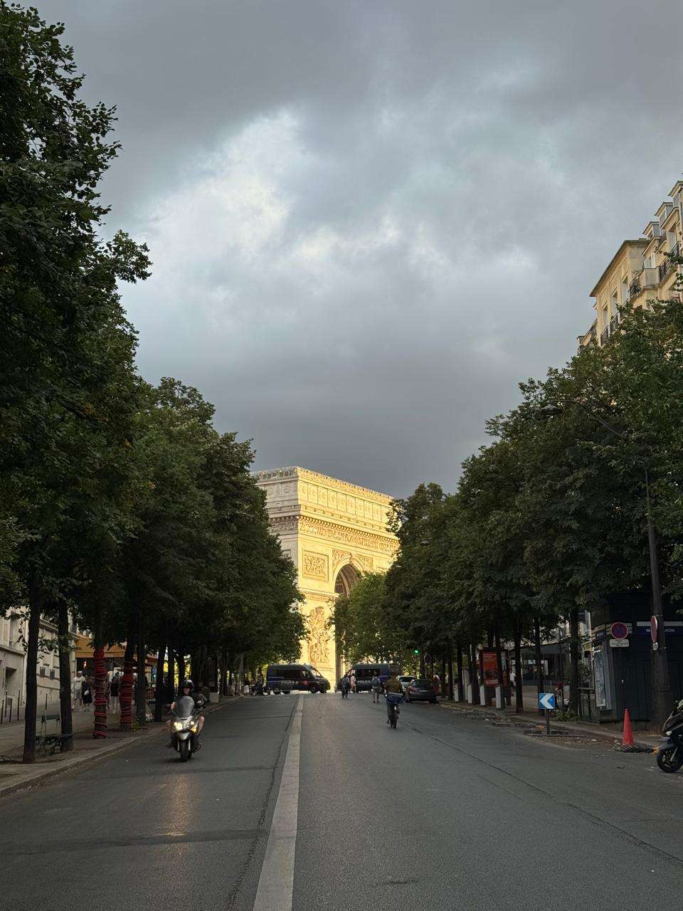
What the photographs I took that morning show, and what no photograph fully communicates, is the quality of the silence in those streets. The Champs-Élysées without vehicles is a different spatial experience from the Champs-Élysées with them. The width of the road becomes legible in a way that normal traffic conditions prevent. The relationship between the avenue and the buildings lining it, the proportional logic that Haussmann’s planners encoded into the urban section, becomes readable as urban form rather than as traffic infrastructure.
For a short period that morning, before the crowds arrived and before the race began, the city was returning a version of itself that its own design had always contained but that daily use had made invisible. The road as public space rather than movement corridor. The avenue as collective room rather than throughfare.

This is not a romantic observation. It is a planning observation. The Haussmann plan that produced these dimensions was not designed for automobiles, which did not yet exist. It was designed for a specific conception of urban life in which the boulevard was a social institution as much as a circulation element. The car occupied that space for most of the twentieth century. For one day each year, something else does.
The radial structure of central Paris, which has attracted legitimate criticism from planners who find it inefficient for contemporary movement patterns and physically demanding for pedestrians navigating the gradients toward the Arc de Triomphe, revealed a different characteristic under these conditions. The wide axes created natural viewing corridors. The rond-points became gathering nodes. The spatial logic that the critics found excessive for everyday use turned out to be well-suited for the occasional event that needed to use the city itself as a venue.
This is not an argument for the radial plan. It is an observation about the relationship between urban form and the events that urban form can accommodate. A city’s street network is designed for its average condition. What is interesting is what it reveals under exceptional conditions, because those exceptional conditions expose the spatial potential that routine obscures.
The Tour de France, in its current format, passes through Montmartre multiple times before returning to the Champs-Élysées for the final circuits, a modification introduced after the 2024 Paris Olympics demonstrated that integrating the race into the city’s monumental geography rather than treating it as a linear spectacle ending at a famous street produced a different quality of event. The city became the course rather than the backdrop to the course. Different neighborhoods, different gradients, different urban characters encountered in sequence by the riders and by the people watching them.
What I observed in the crowd was not the passionate engagement with a sports result that I might have expected. It was something more diffuse and more interesting. Families with children who were clearly not following the race standings. Tourists who had happened into the event and stayed. Residents who had arranged their day around the closure rather than being disrupted by it. The collective mood was not the focused intensity of a stadium crowd. It was the relaxed sociability of a public holiday.
The closure had converted the street into a commons, and the people in it were using it the way people use commons: for purposes the designers had not specified and could not have specified in advance. The racing was the occasion. What happened around the racing was a temporary renegotiation of how the street belongs to the city.


I had expected, given my own background and where I come from, to find this kind of event more characteristic of Dutch cities, where the relationship between urban space and cycling is structural rather than ceremonial, where the bicycle is a daily tool rather than an athletic spectacle. What I found in Paris was different in character, more theatrical, more conscious of itself as an event, but equally genuine as an expression of a city’s relationship to a particular form of movement.
From a planning perspective, what the Tour de France closure demonstrates is a capacity that most cities claim to have and few actually possess: the ability to temporarily reassign the function of major infrastructure without triggering the systemic failures that such reassignment would normally produce.
Closing a principal artery in a city of two million people affects transit, commerce, emergency access, and the daily routines of residents who had no interest in the race. The fact that this closure was executed without apparent crisis, that the metro system absorbed much of the displaced movement, that the commercial districts adjacent to the closed routes continued to function, suggests a level of operational coordination that is not visible in ordinary conditions because ordinary conditions do not require it.


This is what emergency planners call latent capacity: the ability to absorb exceptional demands that exists within a system but only becomes visible when the exceptional demand actually arrives. The Tour de France is not an emergency, but it produces similar operational requirements, and the city’s response to it reveals something about its actual rather than its designed resilience.
I did not reach my original destination by the route I had planned. I walked instead, which is to say I experienced a part of Paris that I had been moving through rather than inhabiting.
The distinction matters. A city experienced from a vehicle is a sequence of addresses and travel times. A city experienced on foot is a sequence of spatial conditions, social textures, unexpected adjacencies. The forced walk that the closure produced was, from a purely informational perspective, a more thorough encounter with that part of Paris than any planned route would have generated.
This is not an argument for closing cities. It is an observation about what urban mobility optimized for efficiency excludes, and what becomes available when efficiency is temporarily suspended in favor of something else.
The day Paris closed was not the day Paris stopped working.
It was the day Paris worked differently, and the difference was informative about what the city actually contains when its normal operating conditions are not in force.
Pogačar won his fifth title. Van der Poel won the stage. The barriers came down. The city resumed.
What it had briefly become disappeared back into what it normally is.
But the spatial potential it revealed for those hours does not disappear. It remains in the structure, waiting for the next occasion when something decides it is worth making visible.
✦ ArchUp Editorial Insight
What the Tour de France closure reveals is not a sentimental truth about Paris reclaiming itself — it is a stress test that exposes the gap between a city’s designed capacity and its actual spatial potential, a gap that exists in every major urban network but becomes legible only when an exceptional event forces a temporary reassignment of infrastructure functions. The Haussmann boulevard was not designed for the automobile; the automobile simply occupied it because no governance framework intervened to negotiate the terms of that occupation, and the car’s dominance of the urban section for a century is therefore not the product of superior spatial logic but of a regulatory and political environment that consistently declined to impose the friction necessary to price that dominance honestly. What the one-day closure demonstrates — that the metro absorbs displaced movement, that commerce continues, that two million people reorganize their routines without systemic failure — is not a discovery but a confirmation of what urban mobility researchers have documented repeatedly and what city governments have consistently declined to act on, because the political cost of permanently reassigning road space from private vehicles to public use remains, in most democracies, higher than the operational evidence justifies, and the annual spectacle of the Tour performs, in that context, a function that permanent policy cannot: it makes the latent spatial argument visible for precisely long enough to be experienced and documented, and then allows the automobile to return before the experience can be converted into a demand for something more durable, a pattern that connects directly to what From Football to Super Bowl identified in the American stadium model — the event as the mechanism that activates the city’s spatial potential without permanently transferring it to the public that briefly inhabited it.