New Water-Depth Maps Expose Flood Risks Around Vital Buildings

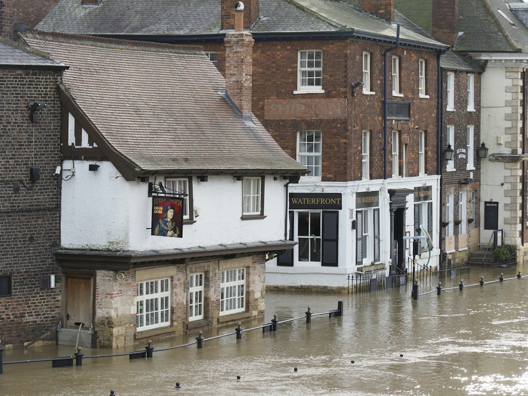
New water-depth maps in the Netherlands are bringing street-level flood exposure around vital buildings into sharper focus. The updated maps show how high water may stand around buildings during intense rainfall, giving owners, operators, and public agencies a clearer way to evaluate climate risk at the scale of entrances, thresholds, basements, ventilation openings, and emergency access.
The announcement, published by the Dutch Green Building Council, points to a broader shift in how cities assess climate adaptation. Flood risk is no longer only a question of drainage capacity or regional infrastructure. It is increasingly a building-level issue, especially for hospitals, emergency departments, transport nodes, and other facilities that must remain operational during extreme weather.
From Infrastructure Risk to Building Risk
The maps were developed under the direction of Climate Adaptation Services and DGBC, and are available through the national Climate Impact Atlas. They have also been integrated into DGBC’s Framework for Climate Adaptive Buildings, allowing building owners and managers to evaluate exposure to water nuisance as part of a broader climate-risk assessment.
The key architectural point is simple: water on the street does not automatically mean damage inside a building. The actual risk depends on the building’s section, details, and access conditions. A low threshold, a basement window, a ventilation grille, or a poorly protected emergency entrance can turn street flooding into operational failure.
Why It Matters for Cities
For urban planners and building owners, the maps make visible a practical layer of climate adaptation: the interface between the public street and the individual building. This is where rainfall becomes an architectural problem. It is also where retrofit decisions can be targeted more precisely, from entrance protection and drainage redesign to revised access planning for critical facilities.
The Dutch case is useful beyond the Netherlands because it reframes resilience as a matter of measurement before intervention. Instead of treating climate adaptation as a general sustainability claim, it asks a more direct question: when the street fills with water, which buildings continue to function, and which fail at the edge?
Source note: This article is based on official information published by the Dutch Green Building Council on 24 September 2026.